Scouting for hog trails with Google Earth.

histopicker

St. George, Utah
LoneStarBoars Supporter
I have found by researching an area I intend to hunt using google earth, I have been able to locate trails. When I get to the area, I locate these trails and check for hog sign. Usually works in finding active areas or inactive, whatever the case may be.
Anybody else using this method and having success with it?
 

FrankT

Destin FL
LSB TURKEY BUZZARD PRESERVATION SOCIETY
LoneStarBoars Supporter
GE is not a current map, depends how many years have gone by since the pic was taken. Since we are in a timber area things change more than virgin land.
 

Brian Shaffer

Hog Hunter
SUS VENATOR CLUB
LoneStarBoars Supporter
As they are doing oil/gas work in my area (not happy about) GE has been updated multiple times in recent years, the last time being 15 months ago. Generally speaking where I am, few game trails are readily apparent. Livestock trails are, but not too many game trails.
 

Brian Shaffer

Hog Hunter
SUS VENATOR CLUB
LoneStarBoars Supporter
Oh sure, that makes sense. After seeing the thread, I gave a closer look to my place and the surrounding properties with and without livestock and didn't have much luck. I even looked at the time lapse/historic images going back to '95.

I bet trails in S Texas remain visible a lot longer than in north Texas where we get more rain and such and recovery of disturbed ground is much slower.
 

Ratdog68

LSB Official Story Teller
LSB TURKEY BUZZARD PRESERVATION SOCIETY
SUS VENATOR CLUB
LoneStarBoars Supporter
Brian; I check for where the trails cross fence lines. Normally these trails are not cattle but you have to be careful here in south Texas, sometimes they are well worn human trails.

Coyotes are open season... aren't they? LOL
 

Ratdog68

LSB Official Story Teller
LSB TURKEY BUZZARD PRESERVATION SOCIETY
SUS VENATOR CLUB
LoneStarBoars Supporter
Coyotes and mules. Sounds like there's a song in that.
As well as other nefarious critterage...

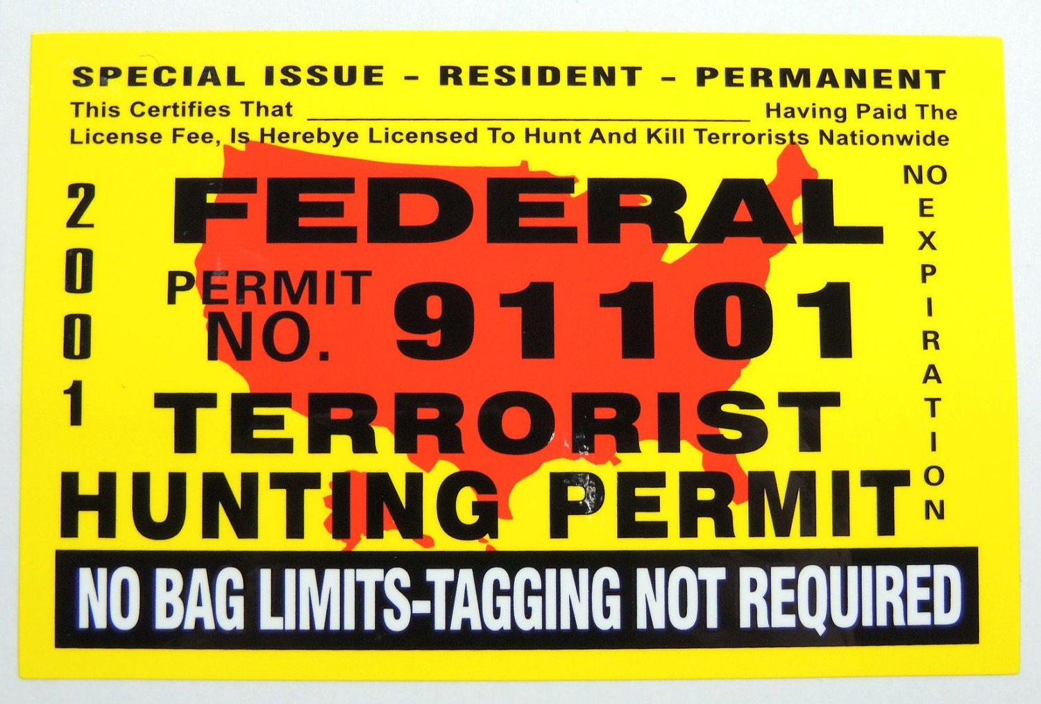
terrorist-hunting-permit.jpg
 

cincoranchhntr

LSB Member
Oh sure, that makes sense. After seeing the thread, I gave a closer look to my place and the surrounding properties with and without livestock and didn't have much luck. I even looked at the time lapse/historic images going back to '95.

I bet trails in S Texas remain visible a lot longer than in north Texas where we get more rain and such and recovery of disturbed ground is much slower.
Yes, we have found many game trails on my friends ranch on GE. The area is just south of Choke Canyon reservoir in south Texas.
 

FrankT

Destin FL
LSB TURKEY BUZZARD PRESERVATION SOCIETY
LoneStarBoars Supporter
we just have too much growth and the maps are too old to help much, easier to walk or drive in and see them for yourself...there are just so many we have to see the ones being use recently.
 

Itsazonik

Cape Coral, FL
Vendor
LoneStarBoars Supporter
Most don't show up because the tree canopy covers the trails. My friends land had so many trails that didn't show up
 
Top